'Miyagi Zao Sightseeing Navigation' website guides you through your visit in Zao town, Miyagi
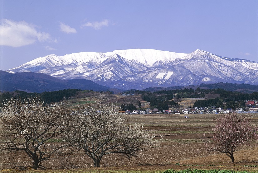
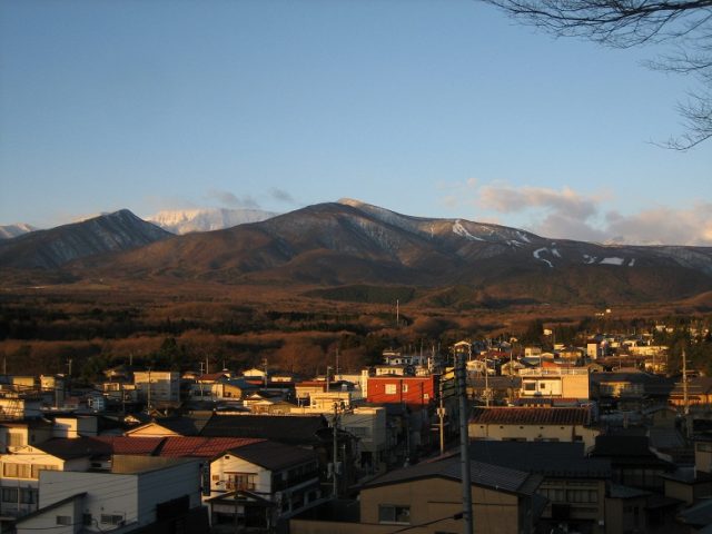
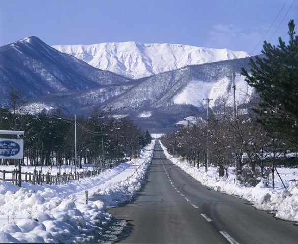
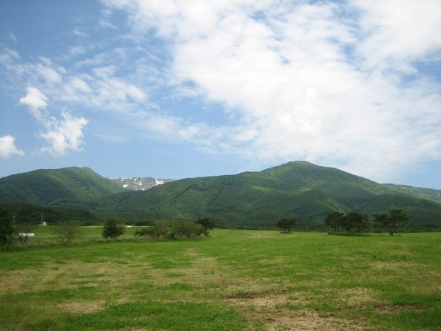
Zao Mountain Range
Zao Mountain Range
A part of Oshu Mountain Ranges, stretching from south to north in the Tohoku region.
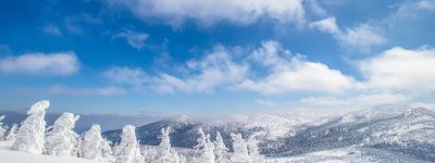
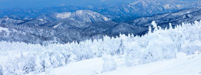
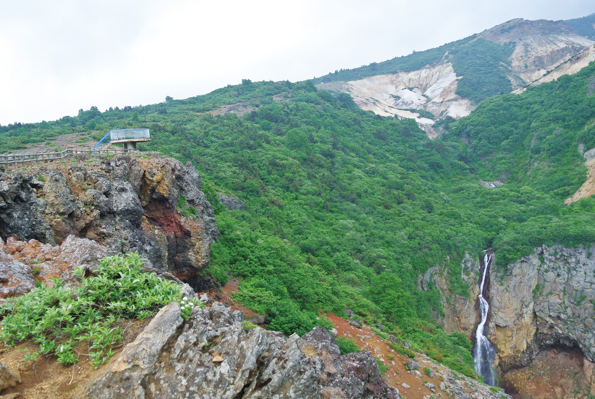
They are layers of mountains dividing Miyagi prefecture and Yamagata prefecture, and they are one of Ou mountain ranges running north-south in the Tohoku region. The highest peak is Kumano-dake in Central Zao, followed by Byoubu-dake, Katsuta-dake, and Sugiga Mine. Zao Mountain Range has over 40 volcanic activities since it started monitoring. In the active volcano, the exposed rocky areas in light grey color (mainly Andesanite) are very thrilling.
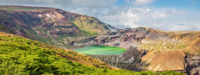
Zao Mountain Range (Zao Renpo) is located in the prefecture border between Miyagi and Yamagata in the Oshu Mountain Ranges that runs north to south of the Tohoku region. The main peak is Kumano dake in the Yamagata side (1,841 m).
It is an active volcano, formed of layers of basalt and andesanite, called stratovolcano, and it is one of 47 volcanoes [1] which are always under observation. There are Okama, the crater lake and the fumaroles (both are in Miyagi prefecture side). Thanks to volcanoes, there are many hot springs in the base of both prefectures, and also many ski resorts. It is one of the major tourist spots in both prefectures.
- Postal Code
- 989-0800
- Address
- Zao Town, Katta-gun, Miyagi prefecture
よく読まれている記事

More...


Disclaimer
Miyagi Zao Sightseeing Navigation is a website with fruitful and accurate traveling information, while under no circumstances shall the site or Zao Town be liable for any indirect, incidental, consequential, special or exemplary losses. By no means shall the website or Zao Town be responsible for any losses, whether or not due to the use of the information provided.
Copyright© TOWN ZAO All Rights Reserved.


 Event Information
 Sightseeing Spots
 Model Courses
 About
About Photo Library