'Miyagi Zao Sightseeing Navigation' website guides you through your visit in Zao town, Miyagi
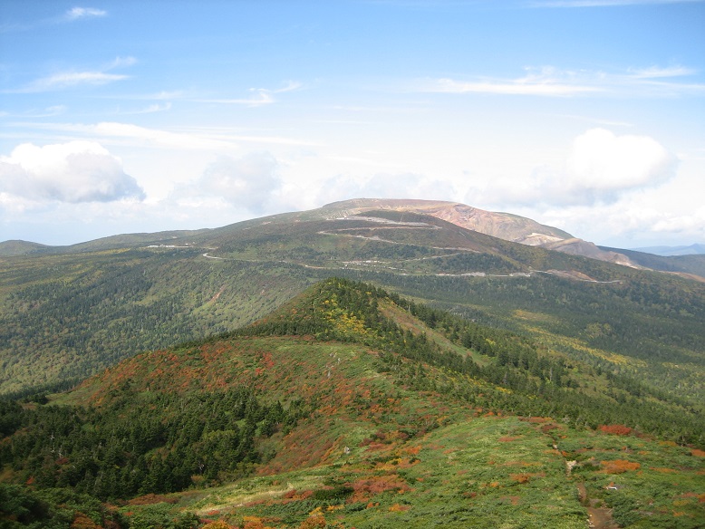
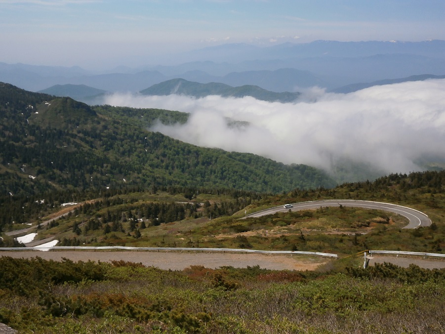
Zao High Line
Zao High Line
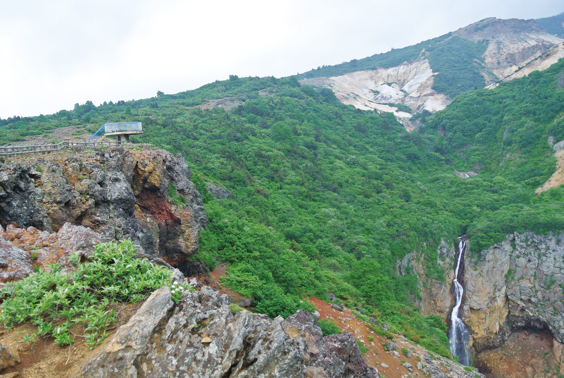
The guide to Okama
It is a mountain road (toll road) which branches from Katsuta Pass, the highest peak of the road, and climbs to Katsuta-dake and Umanoses. It runs a total length of 2.5 km to the top of 1,750 m above sea level. At the end point, there are a parking lot and a rest house managed by the prefecture. It is only a few minutes to the lookout of Okama.
- Postal Code
- 989-0916
- Address
- Tohgatta Onsen, Zao Town, Katta-gun, Miyagi prefecture
- Business hour
- Closed in winter (From early November to late April)
- Remarks
-
Information about closure ① From 5pm on early November to 11am of late April of the following year, the following roads are closed due to heavy snow. the roads between Sumikawa Snow Park entrance~the boarder of Miyagi and Yamagata Prefecture~Yamagata and Bodaira Kogen
As Zao High Line entrance is also included in the closed section, it is not possbile to go to Okama or Yamagata prefecture side.
② For several days before the closer (from late October) and after the opening (till early May), the roads will be closed between 5 pm and 8 am. Please note that the gates of the road are closed.
③ With excessive amount of rainfalls, or snowfall or ice on the road (when it is judged that it is dangerous for normal tires), please note that it may be closed urgently. - Access Method
- by car: 35 minutes from Tohgatta Onsen to the entrace of Zao High Line
- Budget reference
- normal sized car 540 yen motorbike 380 yen micro bus 1340 yen large sized bus 2160 yen
- Parking area
- At the end of the road, there are a free car park (max. 300 cars) and a restaurant managed by the prefecture
- Payment
- cash on site
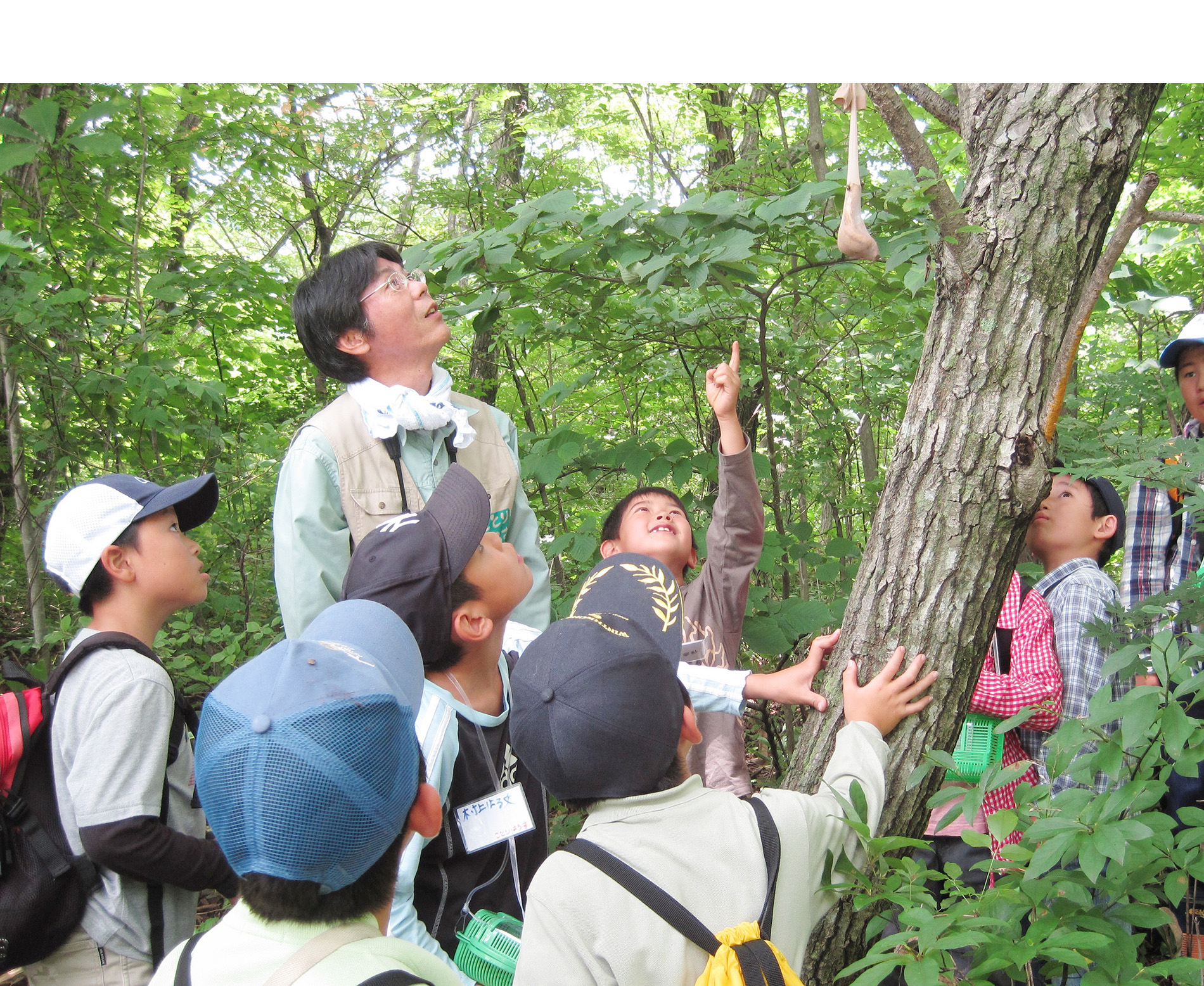
よく読まれている記事


More...


Disclaimer
Miyagi Zao Sightseeing Navigation is a website with fruitful and accurate traveling information, while under no circumstances shall the site or Zao Town be liable for any indirect, incidental, consequential, special or exemplary losses. By no means shall the website or Zao Town be responsible for any losses, whether or not due to the use of the information provided.
Copyright© TOWN ZAO All Rights Reserved.


 Event Information
 Sightseeing Spots
 Model Courses
 About
About Photo Library